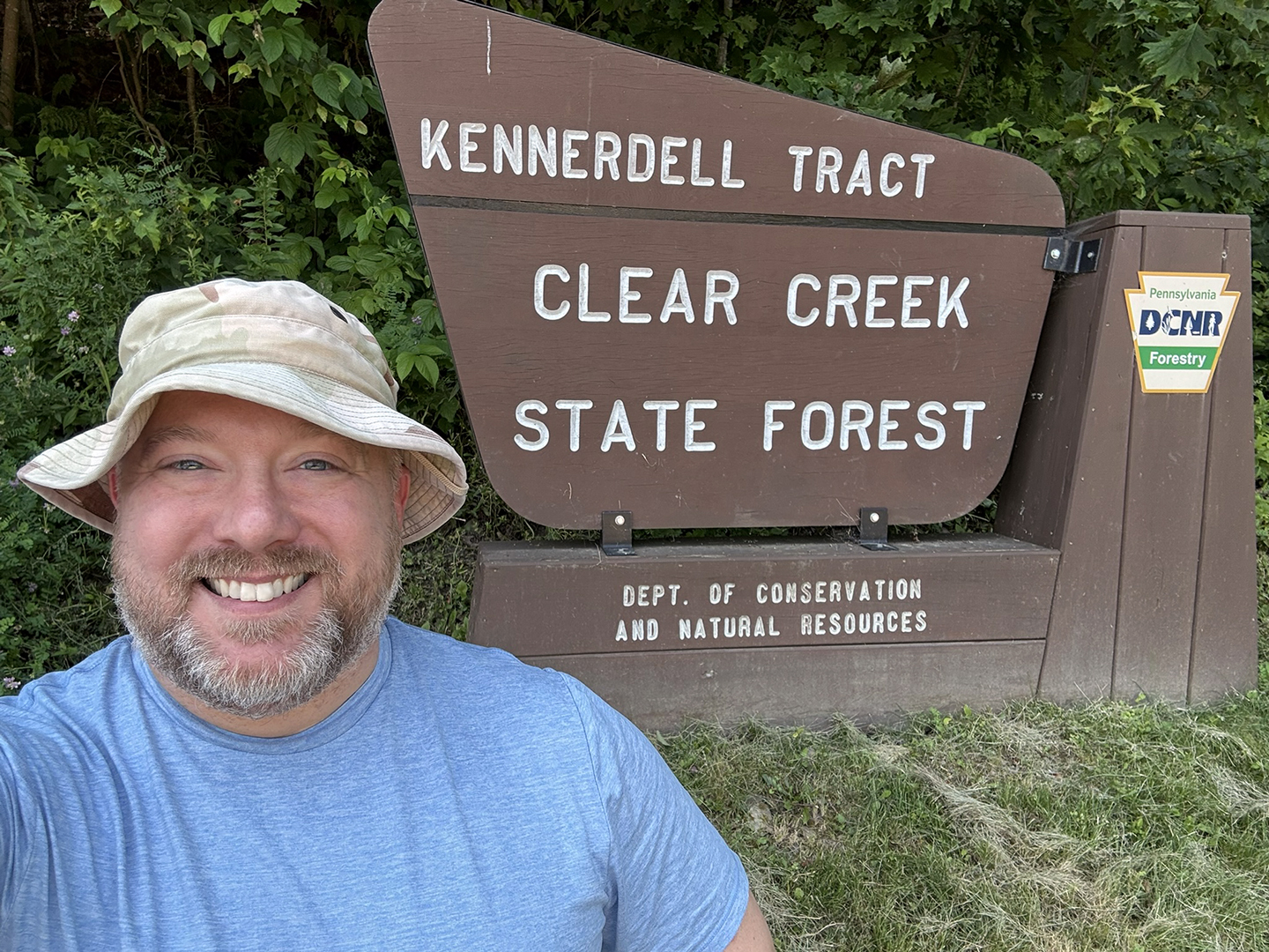
On July 23, 2025, I attempted to backpack on the Kennerdell Tract of Clear Creek State Forest. Instead of an overnight camping trip, I took my gear for a long walk. While scenic and enjoyable, it did not turn out as planned.
Trip Report
Preperation
It may not seem like I prepared at all for this trip, but I have been considering it for a while. While researching my previous trip to Clear Creek State Forest, I was initially confused by the existence of a state park of the same name. Then, I noticed there were other areas, not connected to the main piece of land.
This Kennerdell Tract of the Clear Creek State Forest intrigued me as it’s closer to Pittsburgh and has a few highly-rated trails. The scenic overlook on Kennerdell was an attractive destination, but the problem I saw on those trails was a lack of water sources. While it would have me hiking a lot more on the first day, I could camp near Dennison Run. That water source was in a valley, but I thought I saw potential camping spots nearby. So without much else thought, I plotted my course and set out for an adventure.
The Hike Out
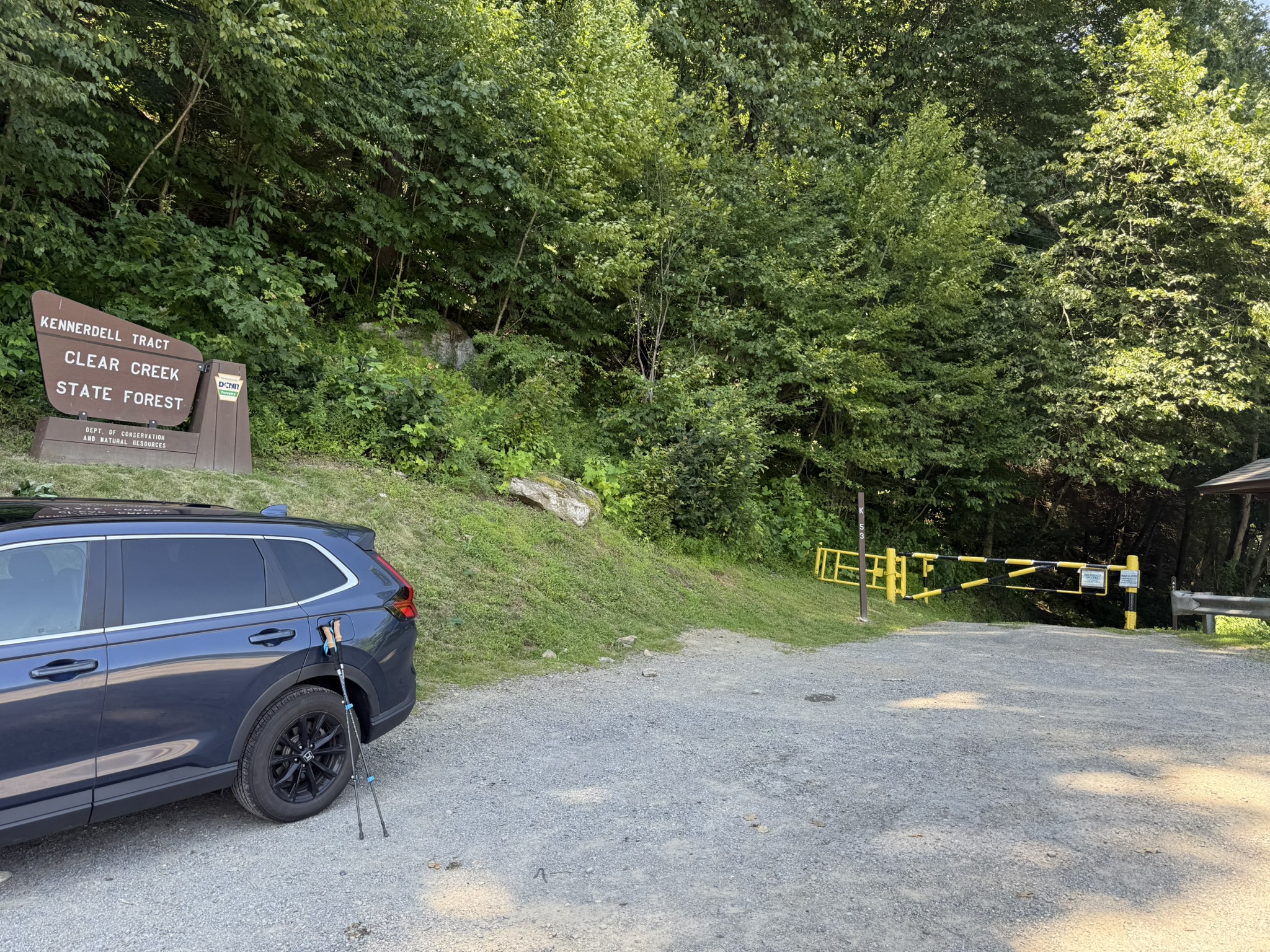
The parking area was relatively small, and I was lucky to be the only other car there. I estimate that only three or four vehicles could be comfortably parked at the trailhead. My hike started out along the road, which had a narrow shoulder, so use caution when vehicles pass you.
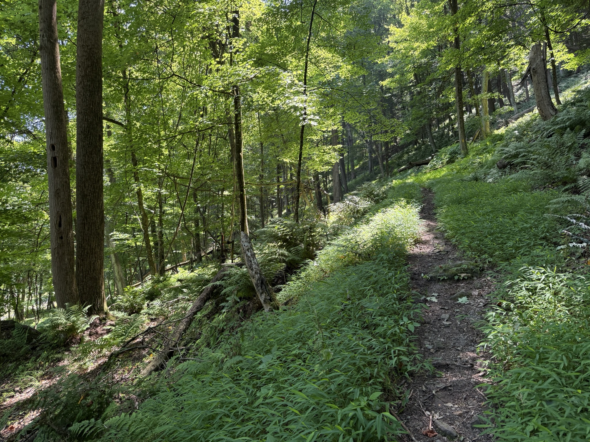
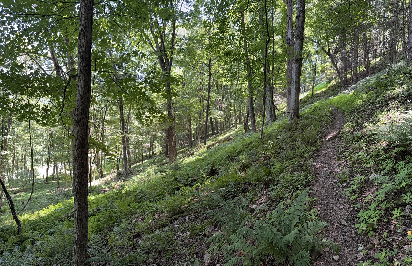
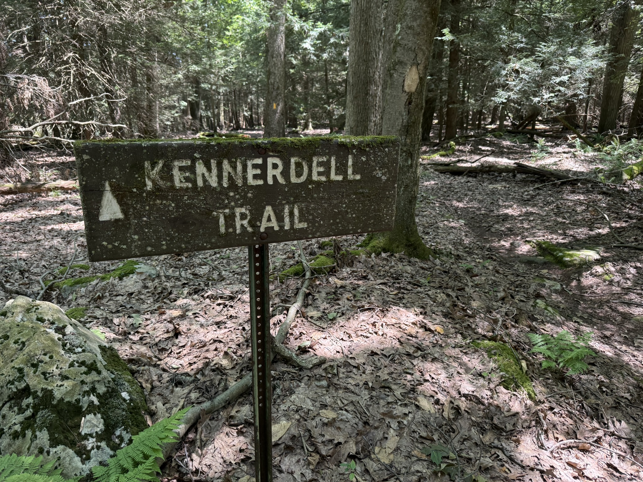
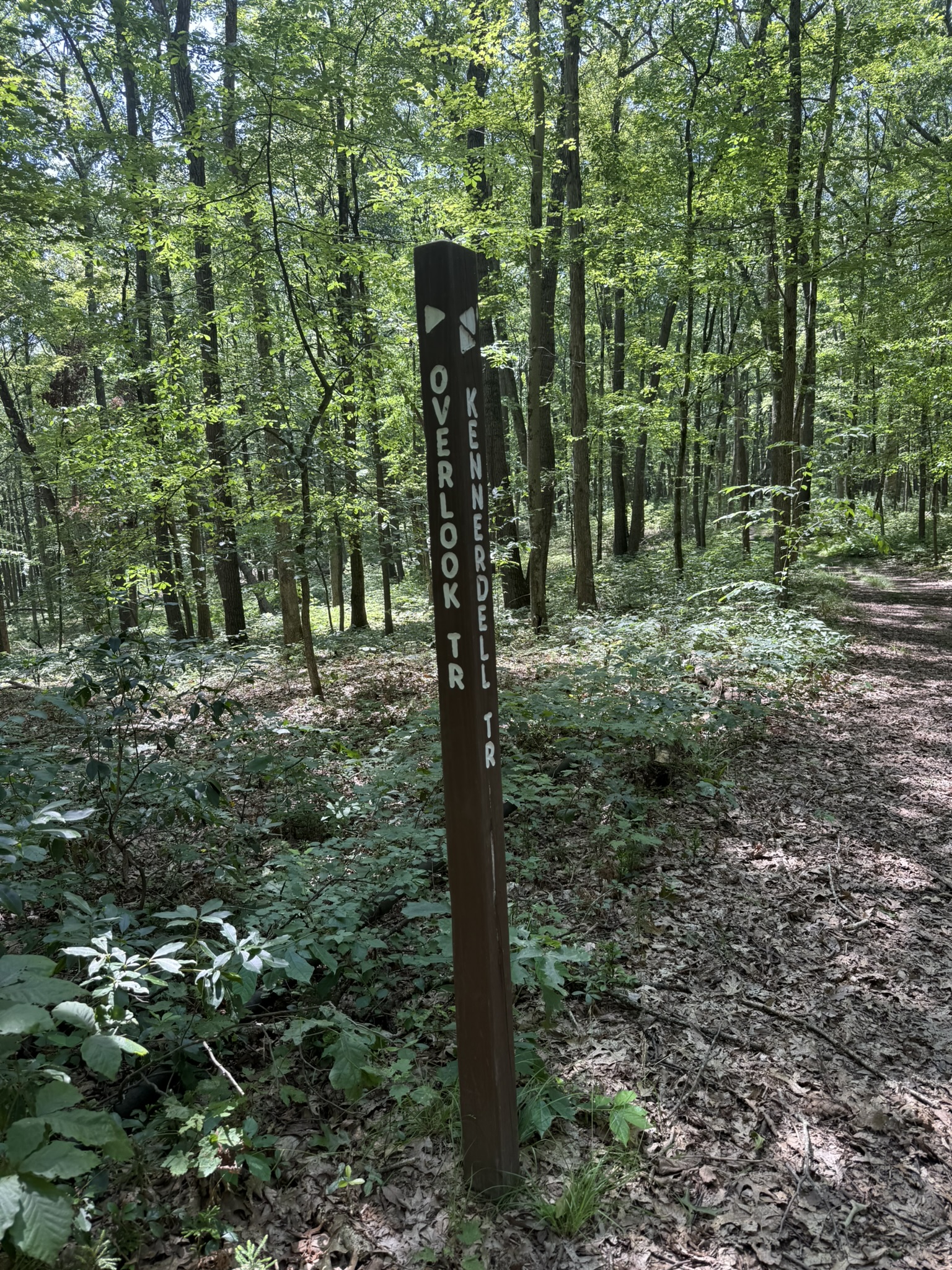
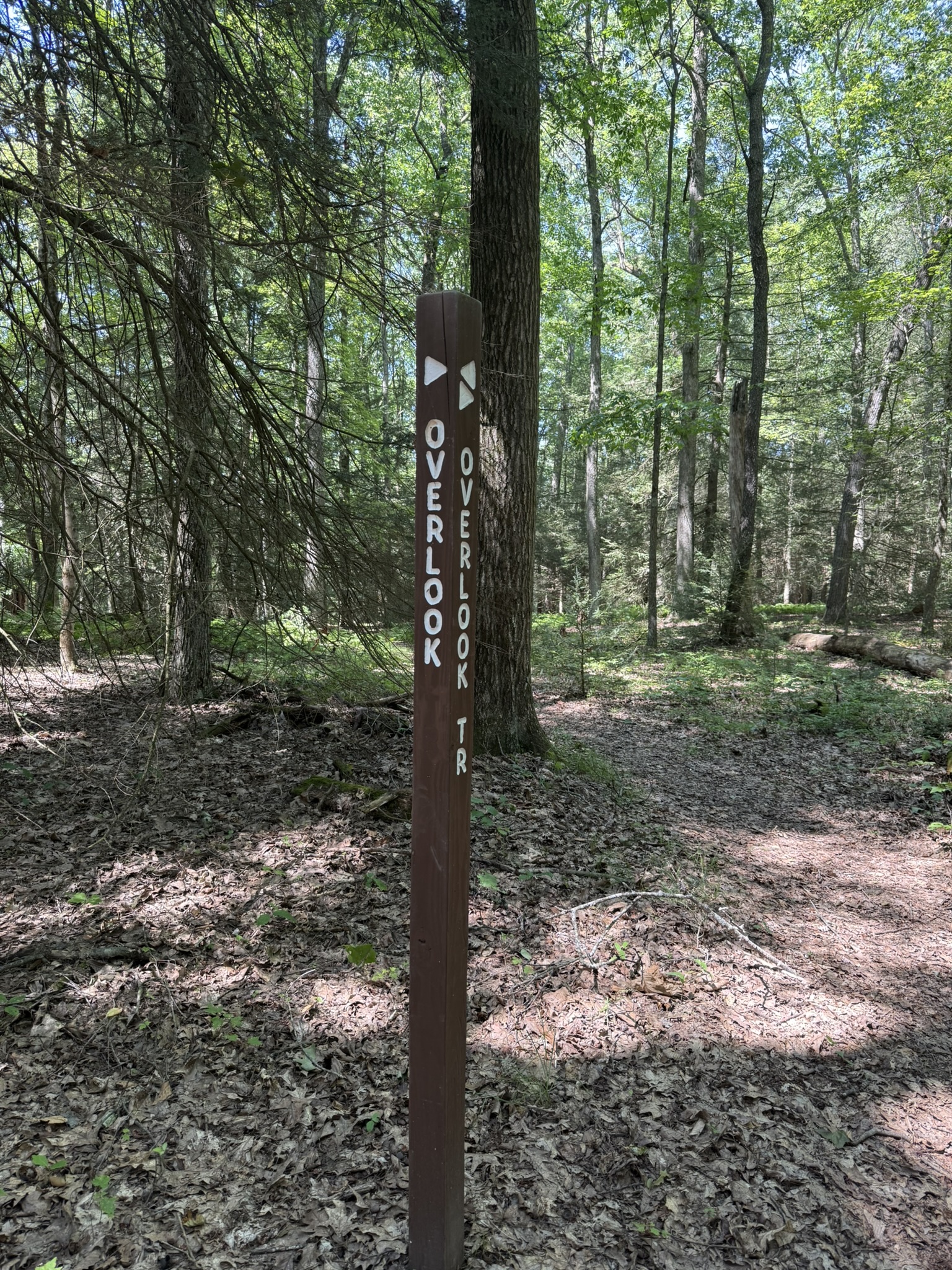
Unfortunately, I never found where the path heads up along the mountain. I got a notification from my GPS app that I was off course. I walked back a bit, but did not see the start of the path. Instead, I headed up through the woods until I came to the trail. It was well worn, but I assume the start was overgrown with vegetation.
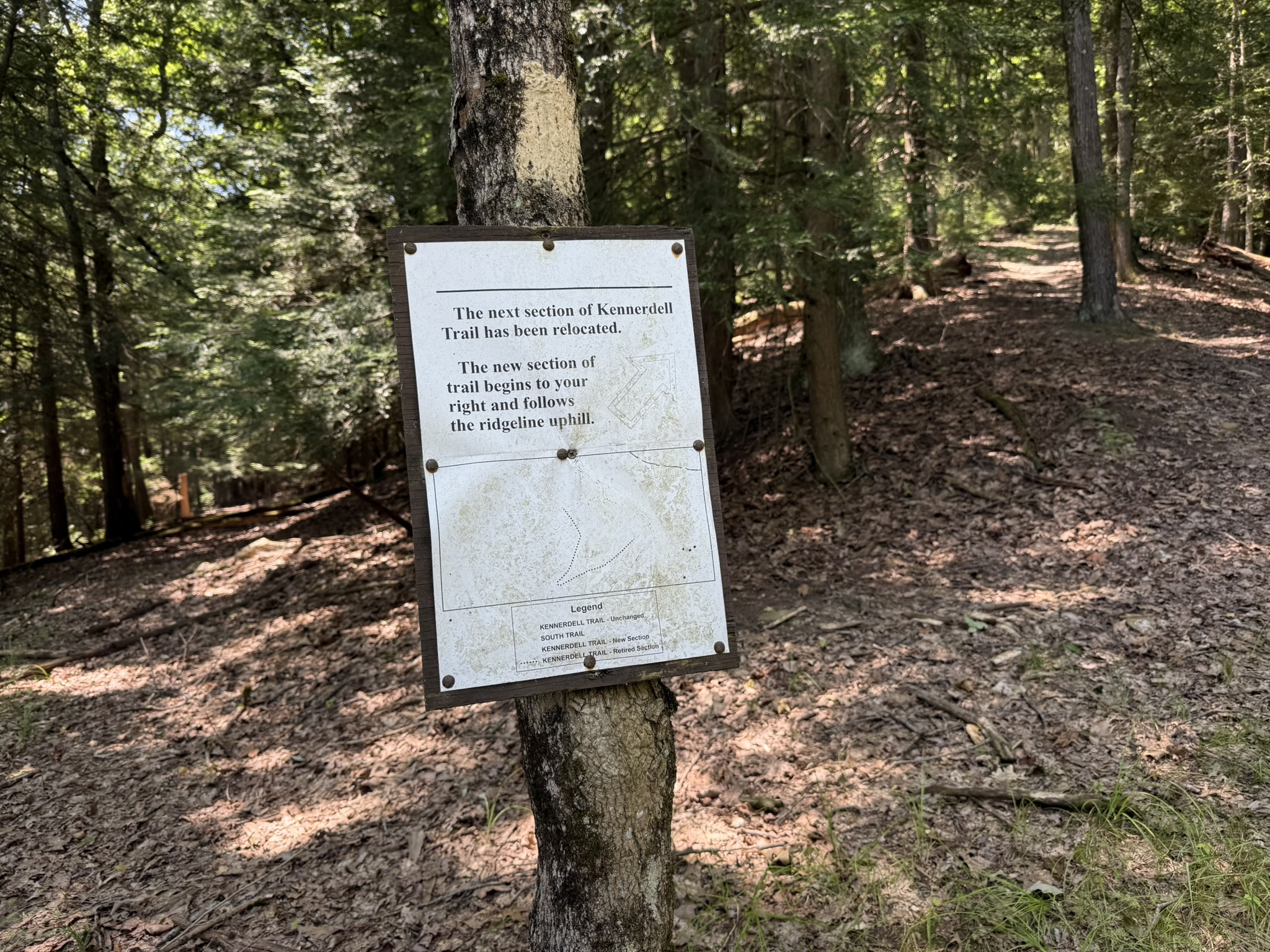
The steep uphill trail was a tough start that took a lot out of me. I regularly stopped for breaks to give my legs and lungs a rest. After it leveled out at the top, I had over 500 feet of elevation gain. Toward the top, I encountered a sign warning me of a closed section of the trail. However, this did not affect my intended route.
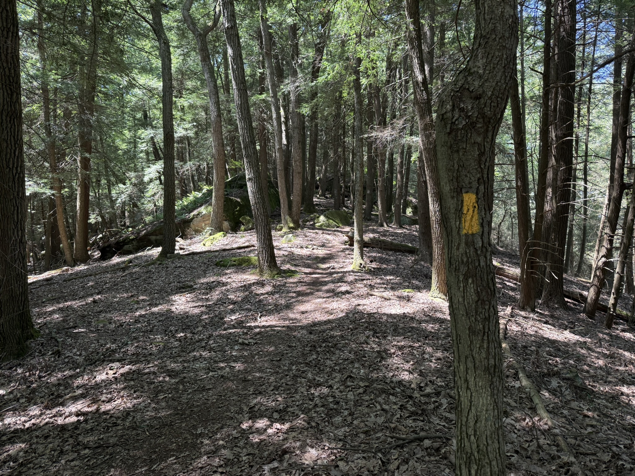
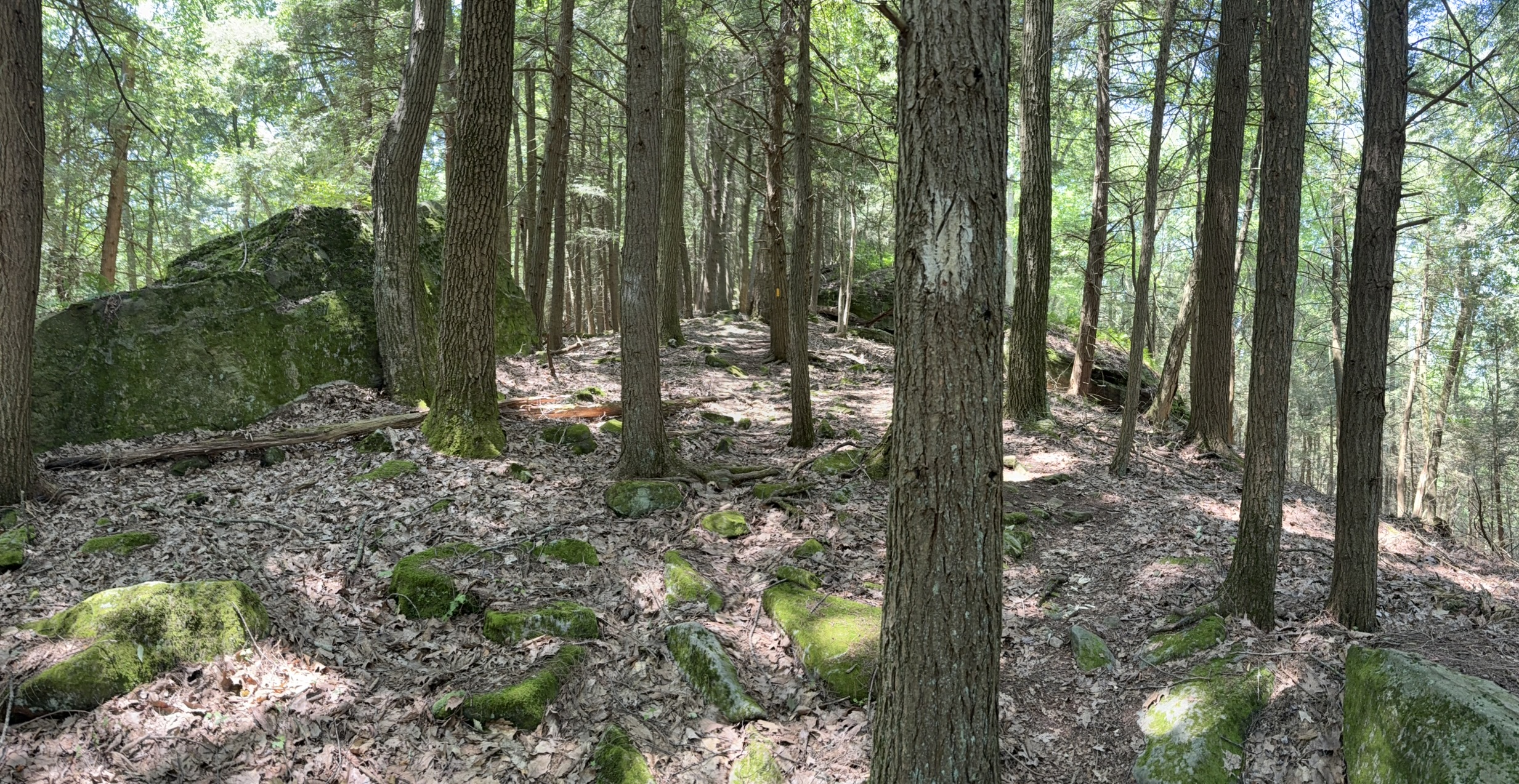
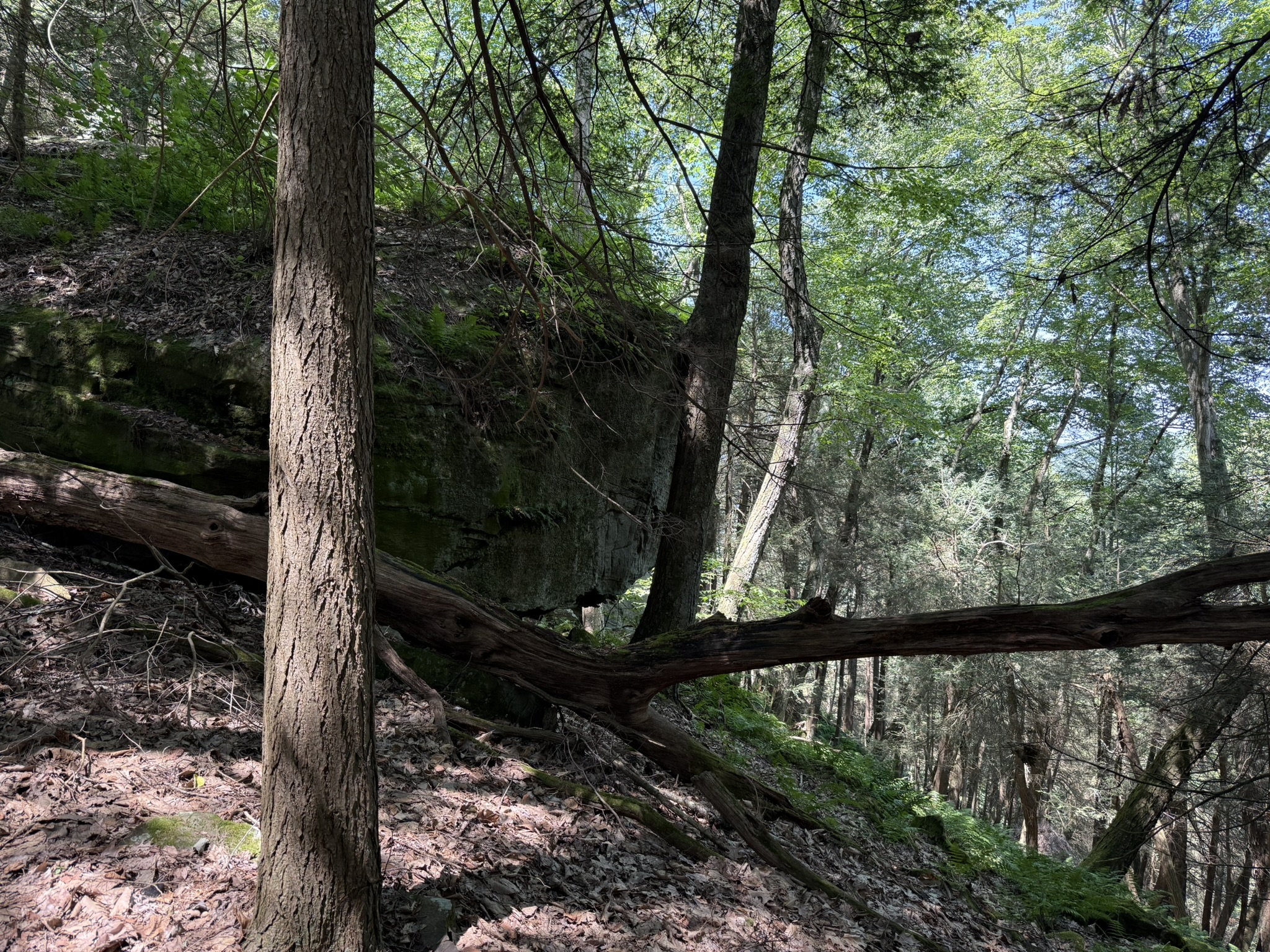
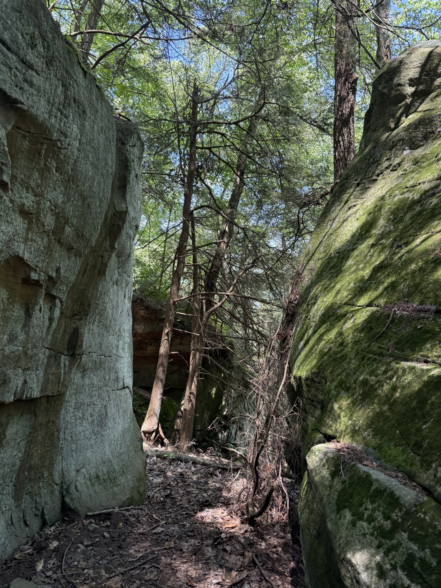
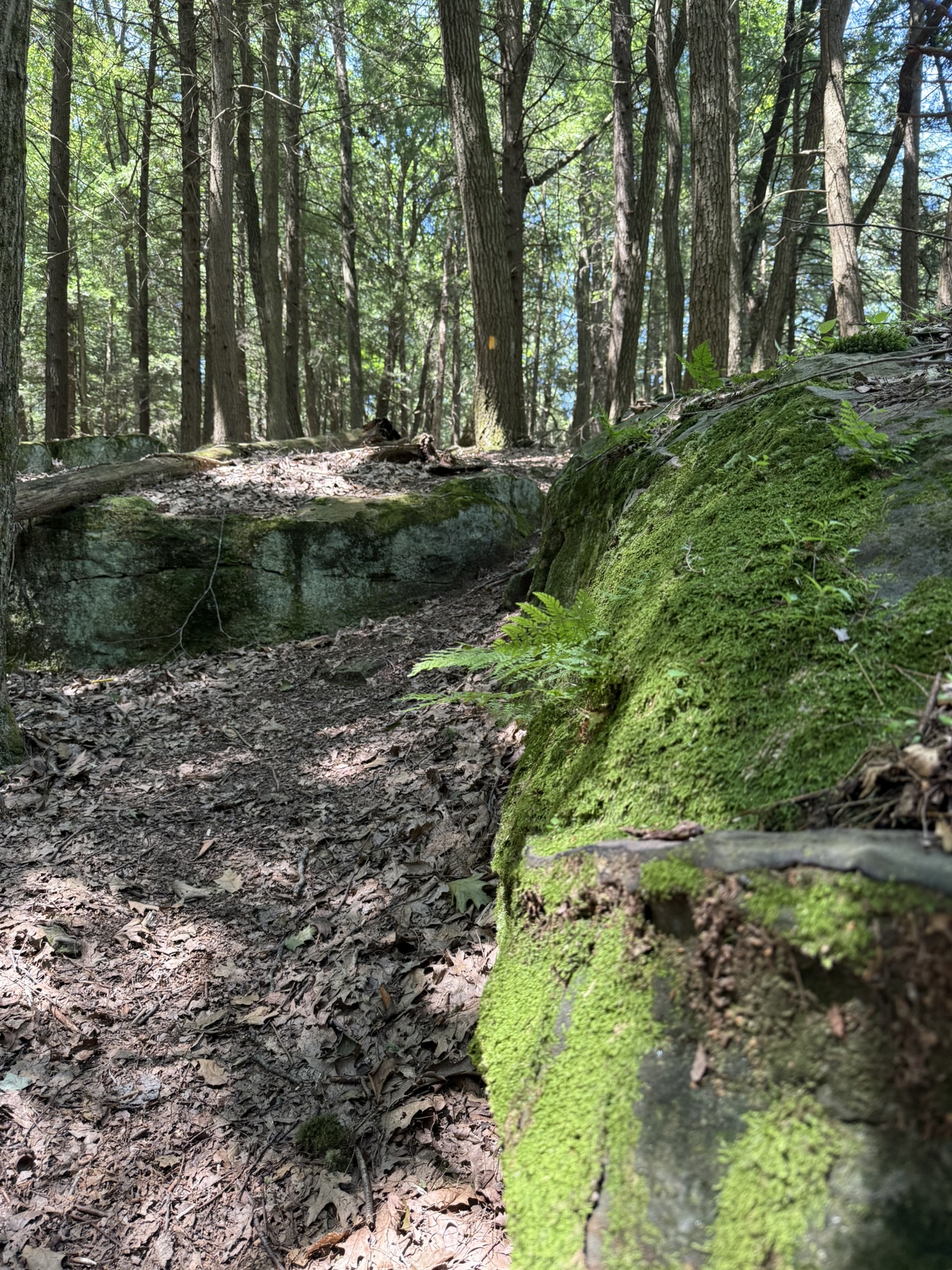
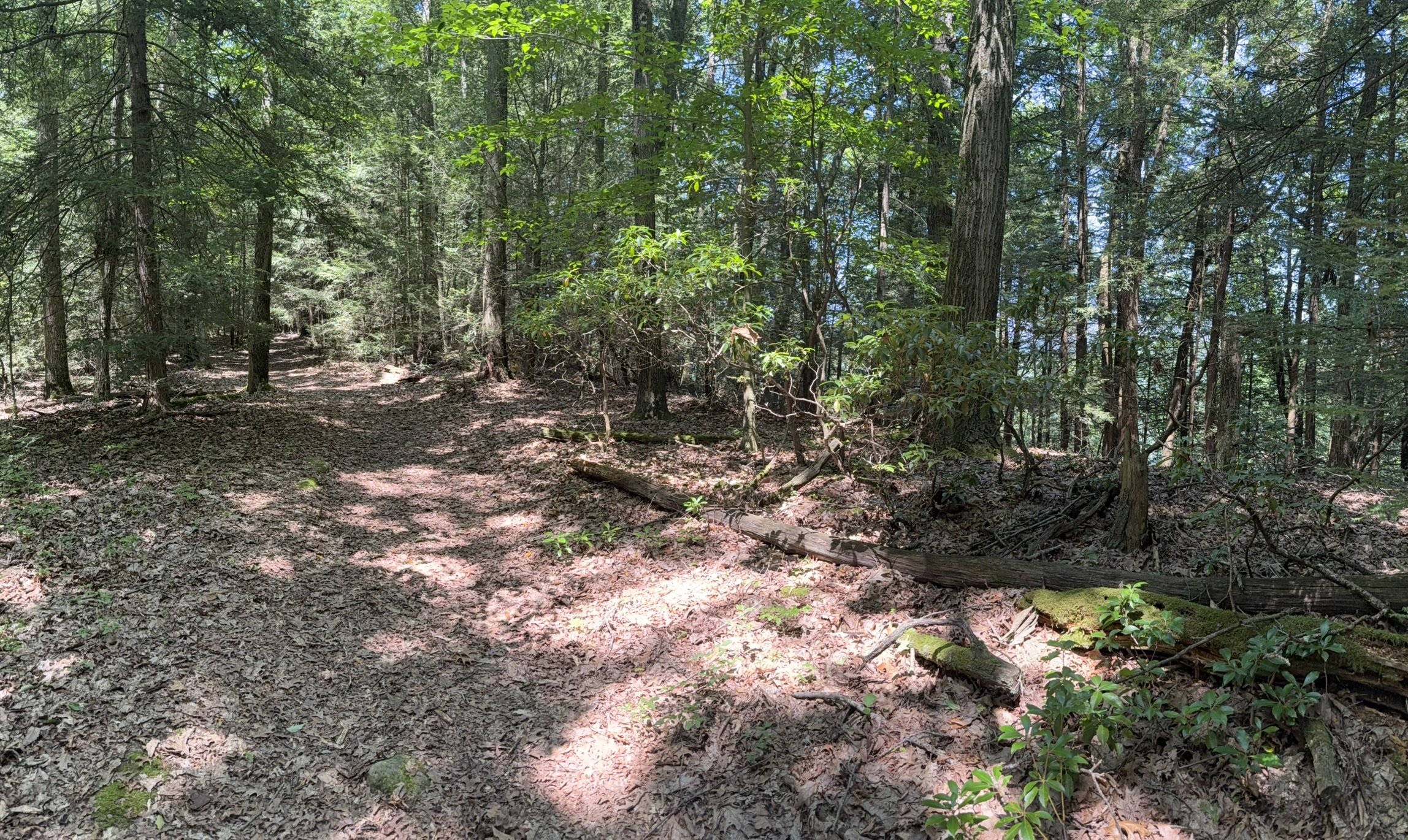
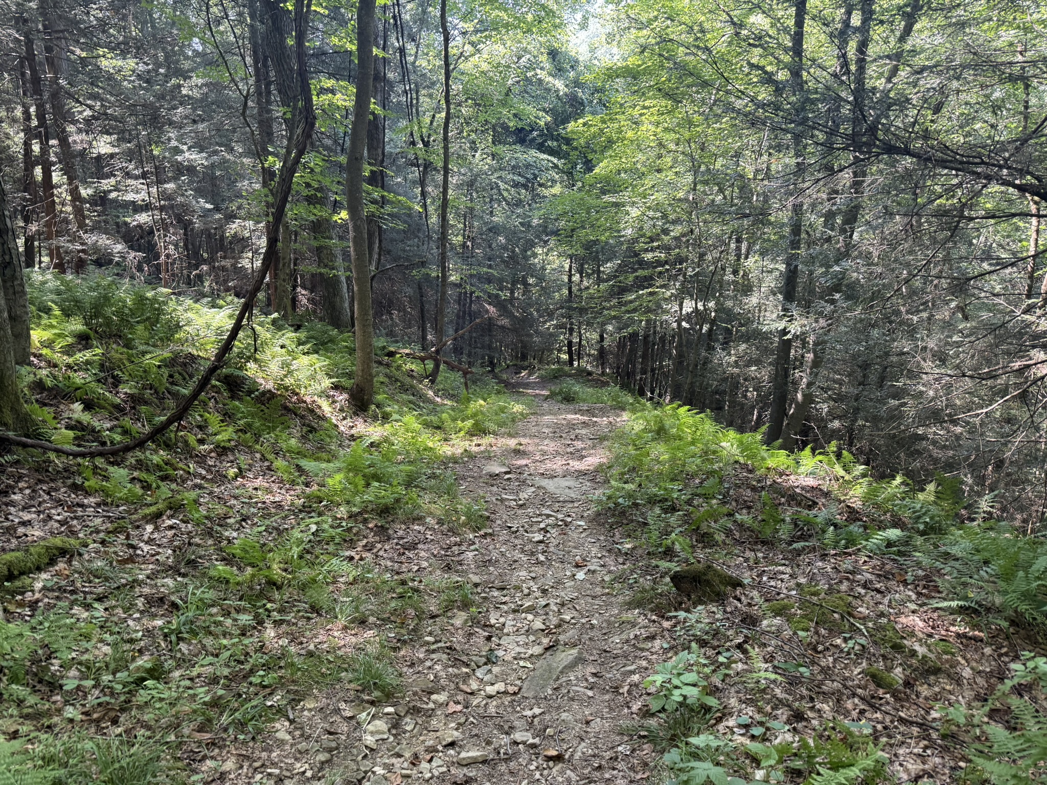
The reward for my climb was some beautiful large boulders with trees, shrubs, and moss growing on them. It was a gorgeous landscape and was a good excuse to stop, take pictures, and catch my breath. The trek across the top of the ridge was pleasant and relatively easy.
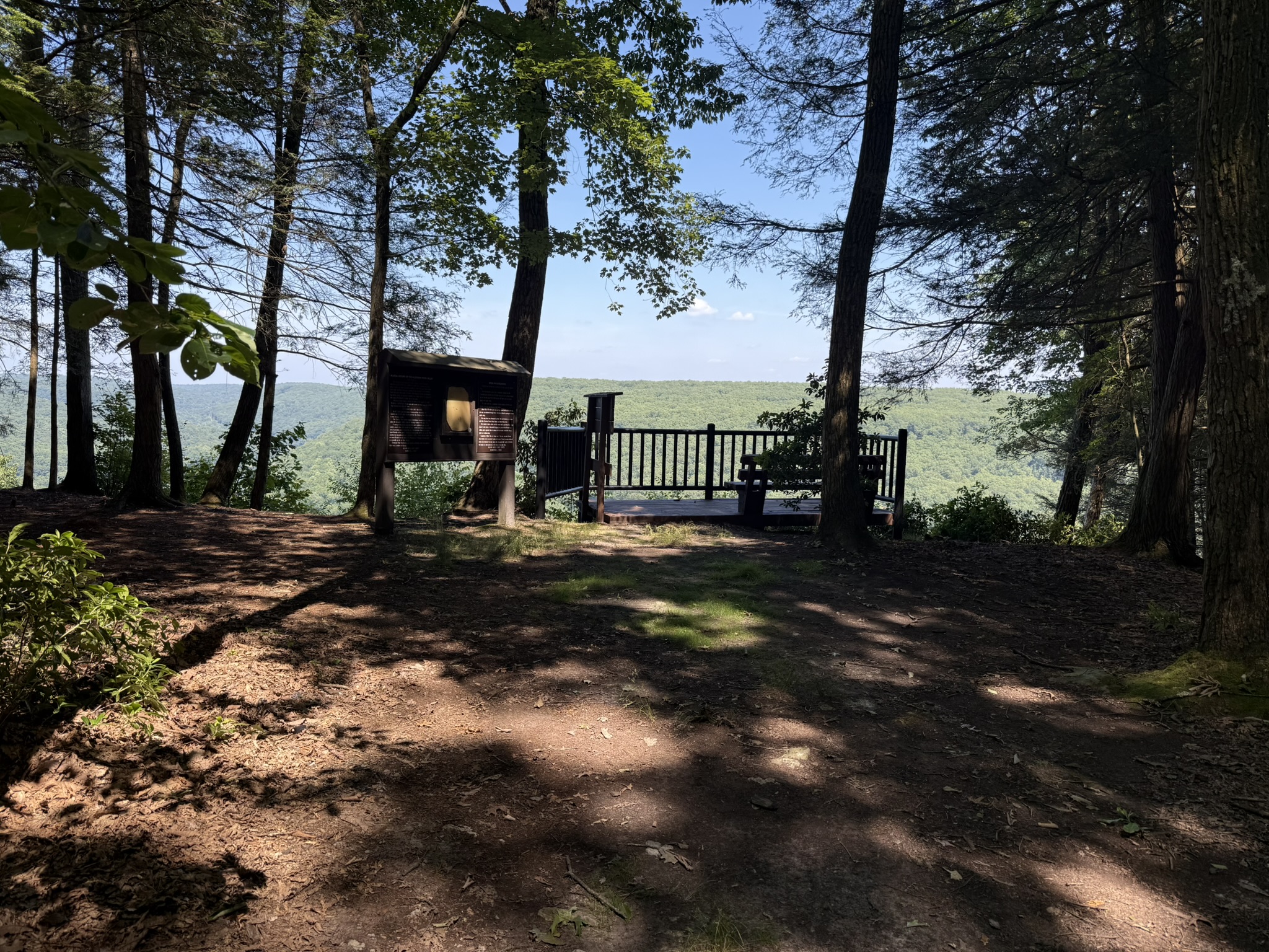
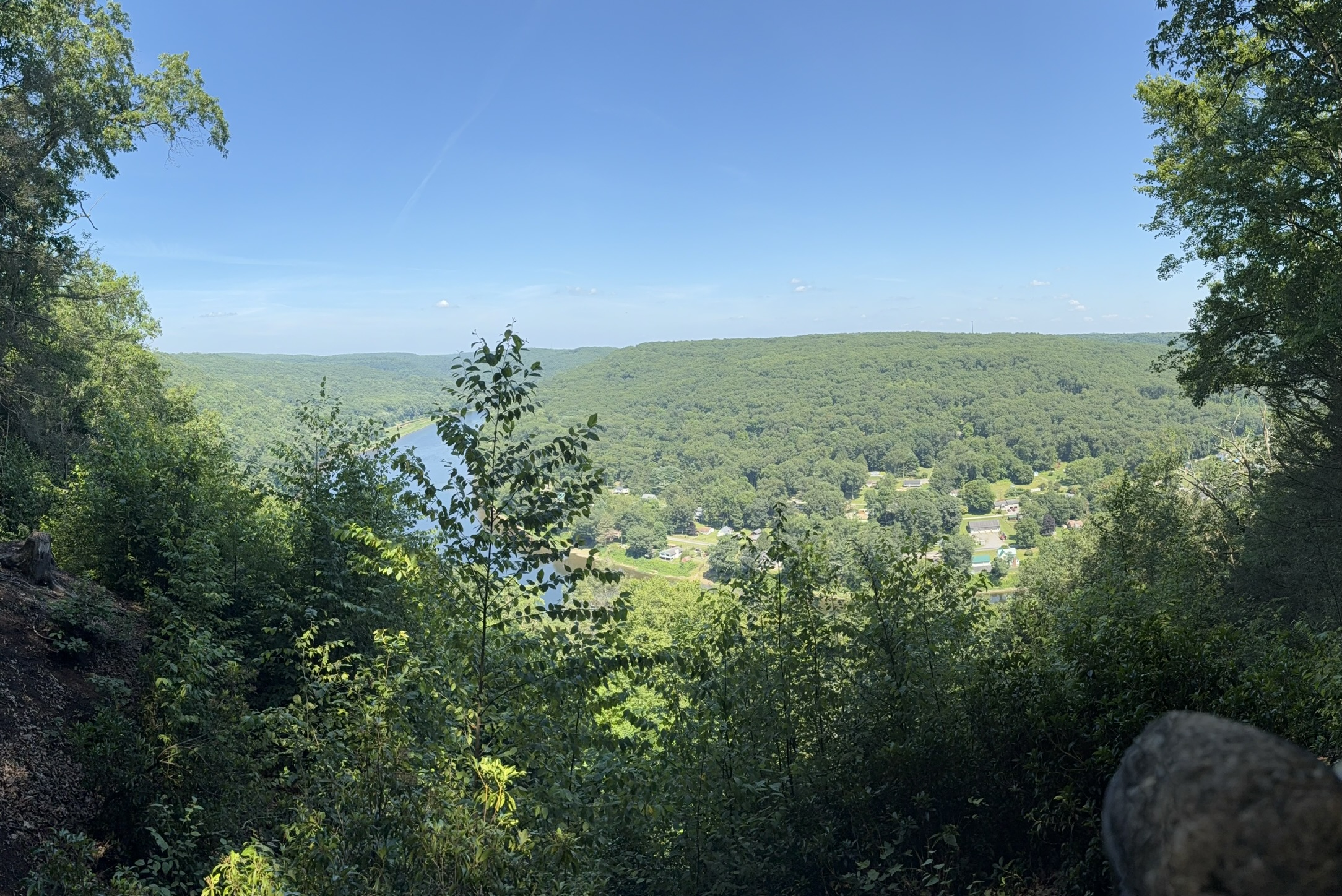
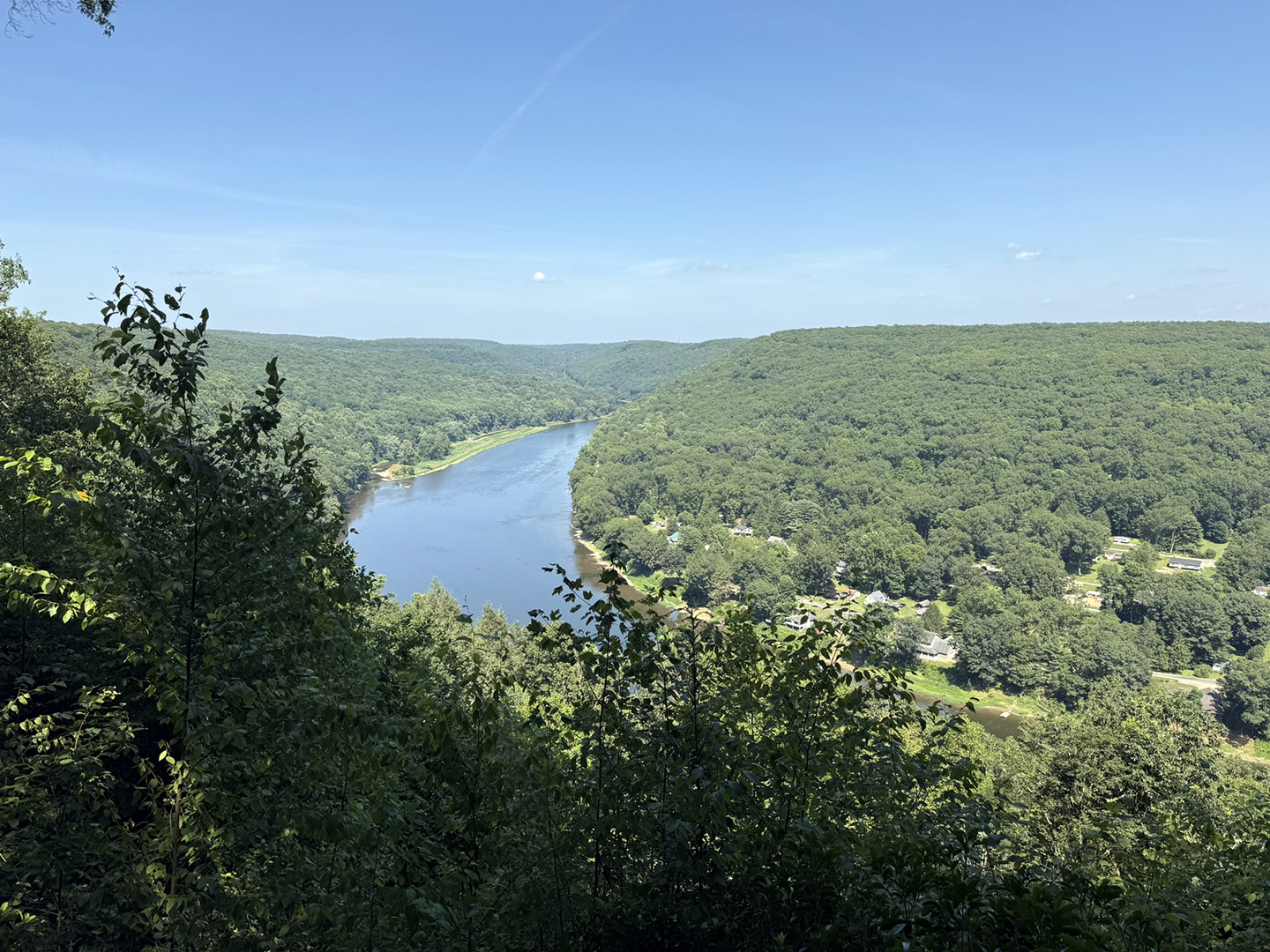
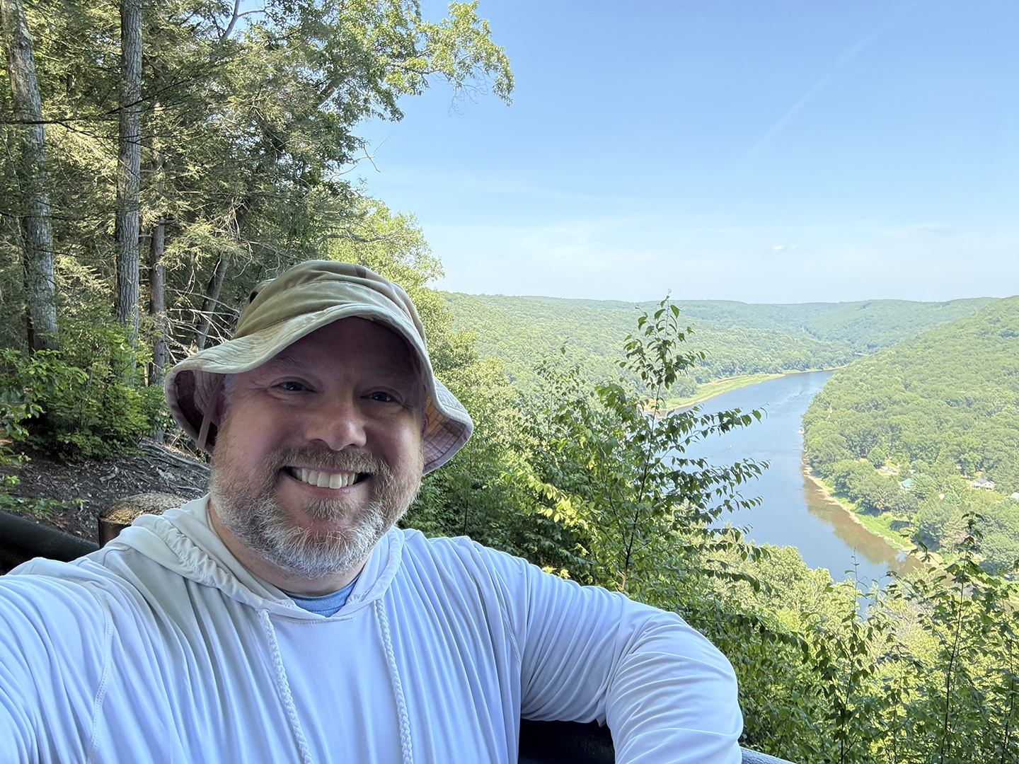
The Overlook
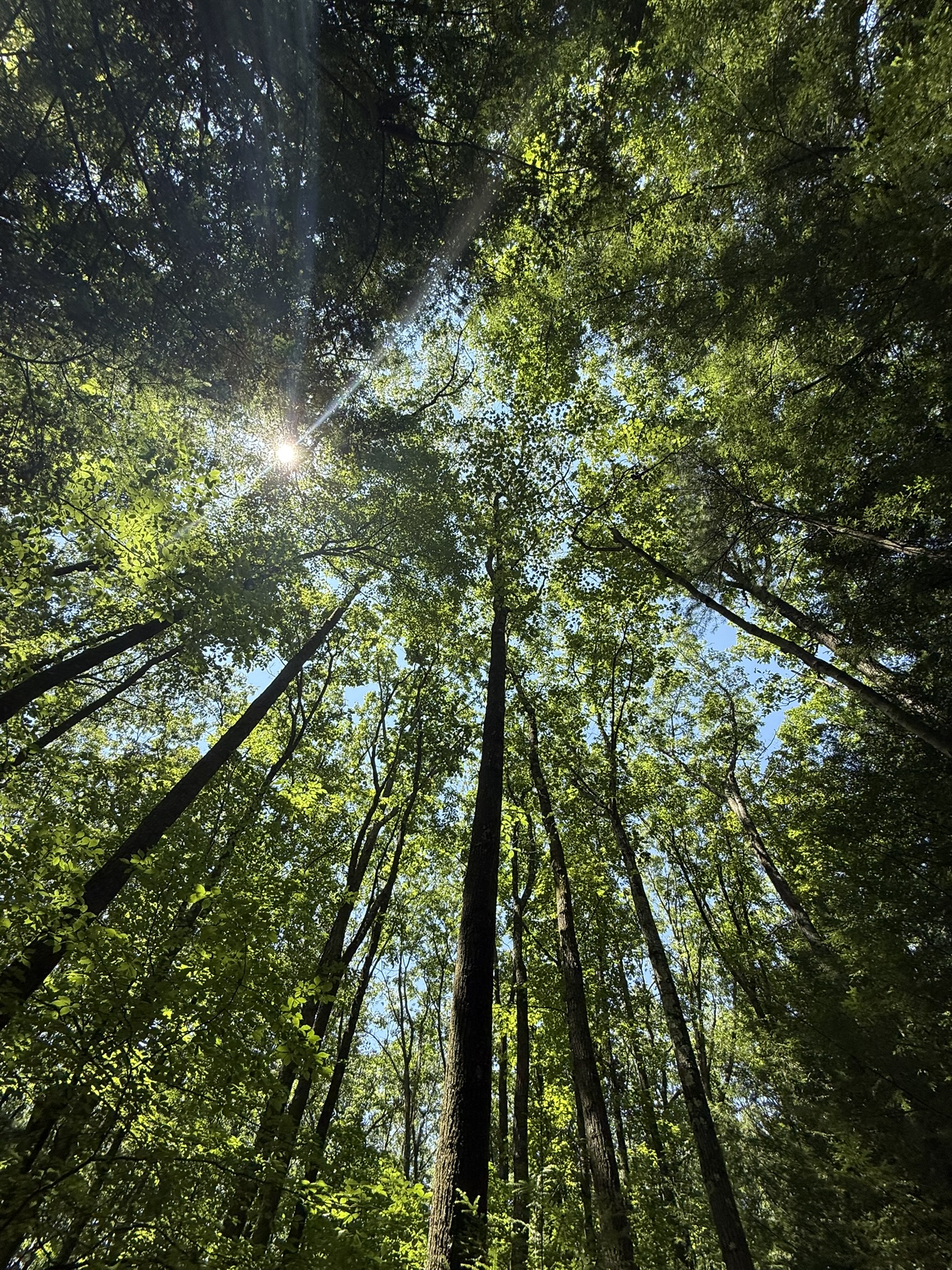
I don’t know why the hiking route on AllTrails does not include the brief walk to the overlook, but I made sure to take it. I got there a little after 2 PM, and the sunshine and views were breathtaking. I appreciated the observation deck and the benches for myself and my backpack. There were also informative placards that described the history of the area you were viewing. I ate a few snacks and rested for about thirty minutes before heading back onto the trail.
The Hike to Camp (or so I thought)
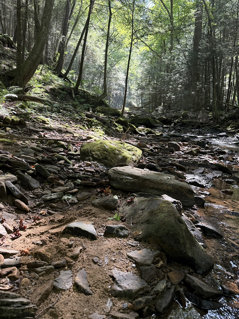
The trail continued to slope down and eventually went into a steep valley where Dennison Run was. This was the area I wanted to camp in, as I was nearly out of water and needed to refill for my meals and the morning hike out. However, the terrain near the stream was far steeper than I anticipated. The lines on the AllTrails topographical map were close together, but I greatly underestimated them. Regulations state that I need to be 200 feet from water sources and trails. That had me out of the valley and up on the steep hills.
While I could camp just about anywhere with my hammock, my full camp would not work on the steep hills. Neither side would work for getting in and out of my hammock, as I’d have to jump, or would have my knees by my ears. Plus, my camp chair, which I use as a nightstand, would not stay upright. Not to mention that if my hammock failed, I did not feel like rolling down a hill. Lastly, as I went down into the valley and closer to the water, the insects became unbearable.
The Hike Back
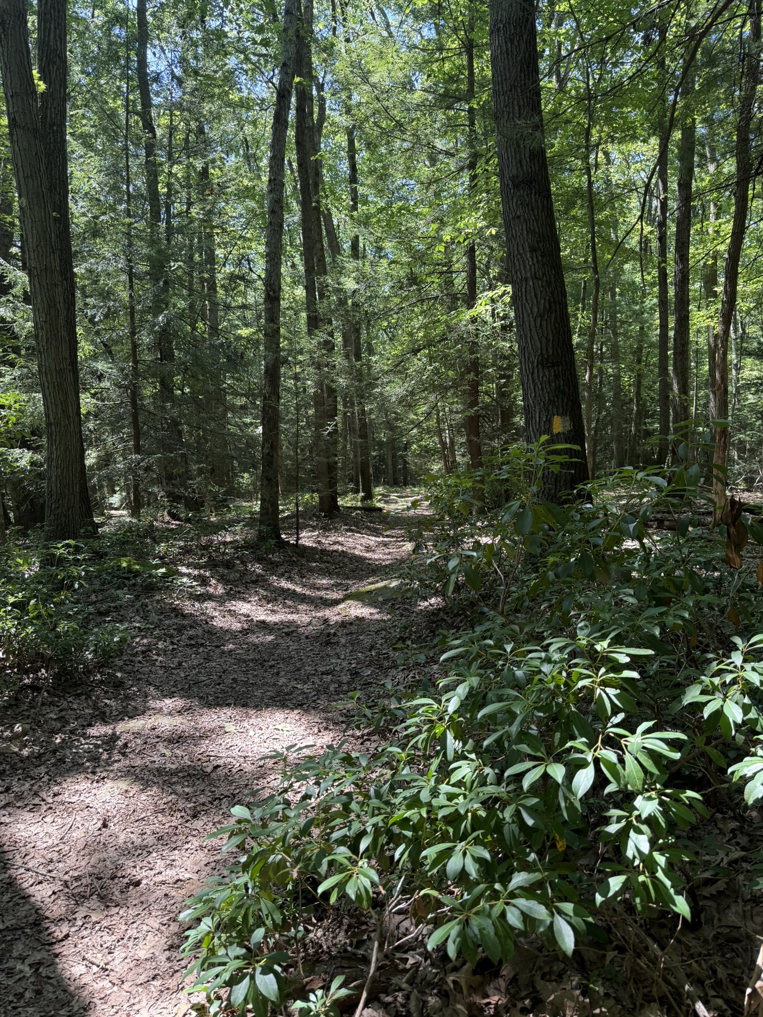
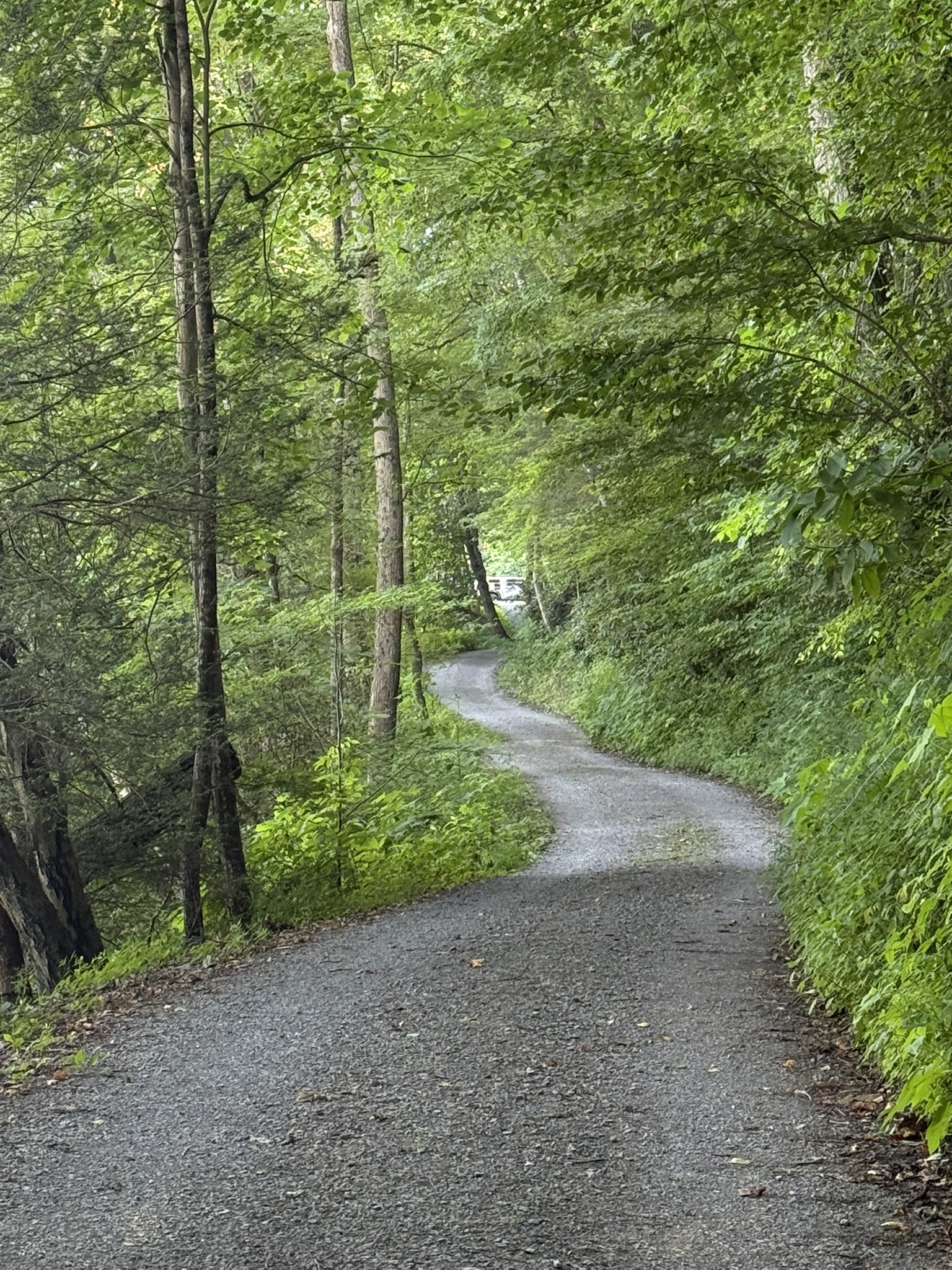
I continued down the trail and followed it along the stream. I kept looking for any flat areas to camp, but it just was not a good area for this. Once I came to the gravel road that was the path back to the car, I realized my backpacking trip had turned into a long hike. Once I got to an area with a break in the trees, I used my phone’s satellite messaging feature to text my wife and let her know that I was coming home that afternoon.
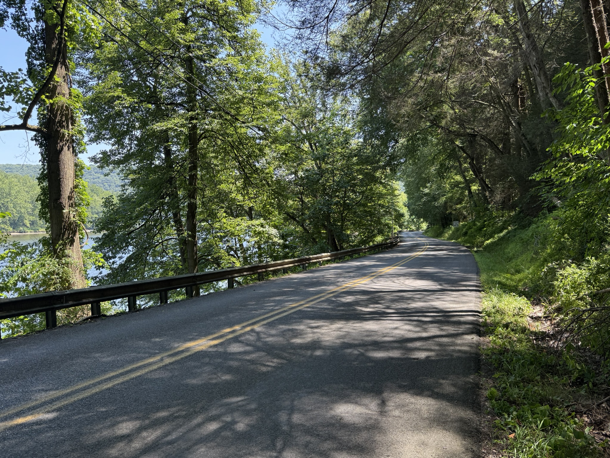
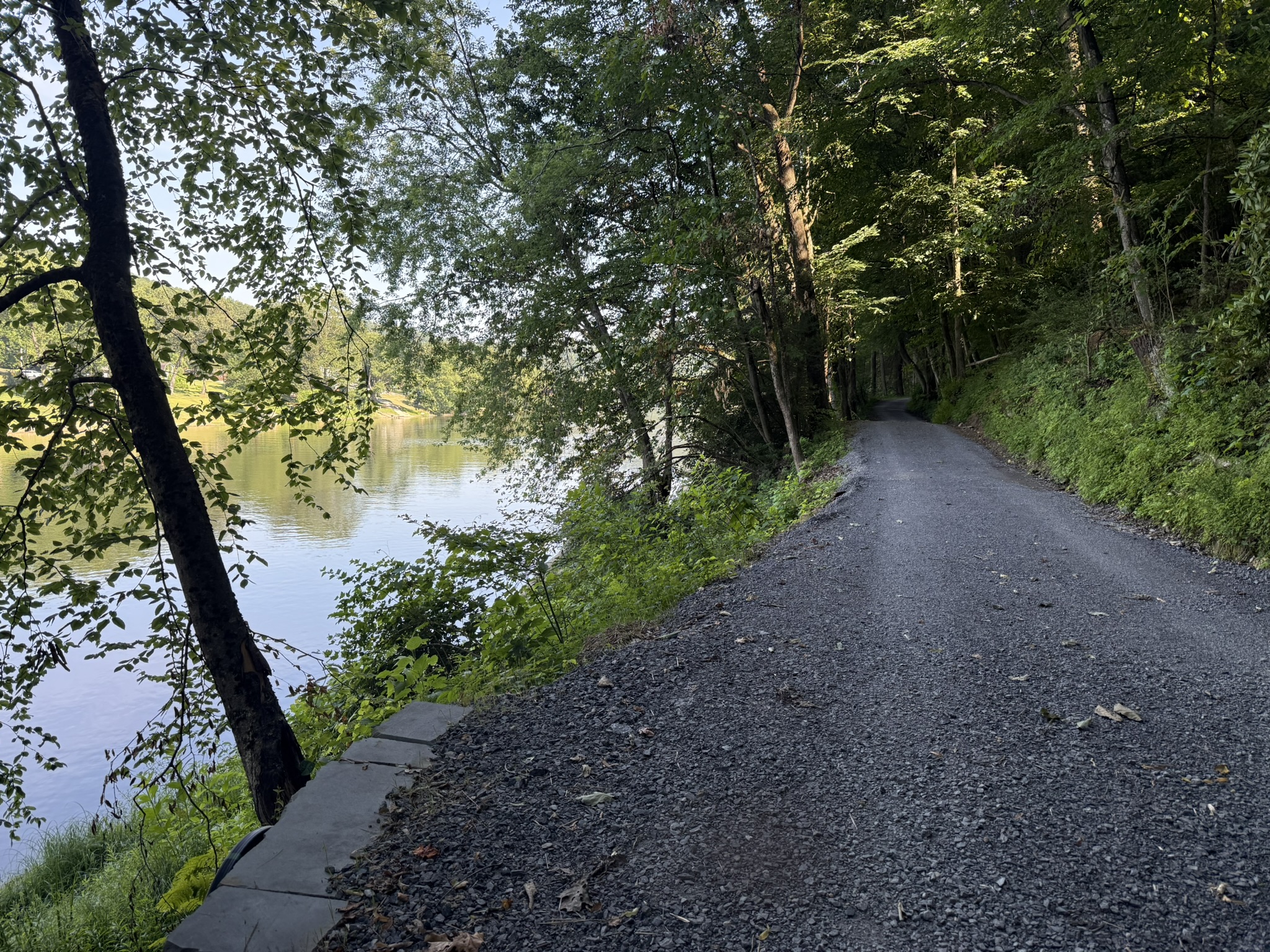
The last section of the hike was peaceful but boring. The Allegheny River was on my left and looked beautiful in the late afternoon sun. Even as I made my way along the river, I kept looking for spaces to set up camp. However, none were feasible. Yet, this easy section of the hike made it possible for my mind to wander a bit as I tried to think about this turn of events. It was up to me to decide how I would interpret it. I startled myself as I burst out in laughter, thinking to myself, “Well, this will be some great trip report material!” So, dear reader, if you made it this far, thank you, and on your next trip, hopefully you’ll scrutinize topographic maps more carefully than I did.
As you will soon see in the next trip report, I was not dissuaded from backpacking at the Kennerdell Tract of Clear Creek Forest. I came back the next week for another backpacking trip on different trails. I learned from this trip’s lessons and made all new mistakes!
Full Photo Gallery


Lessons Learned
General Takeaways
- Events are neither good nor bad. They just are. It is how we choose to interpret them that dictates how we feel about them. This trip was a teaching moment, and one I could share with you.
- Slowly increase your mileage as you progress with endurance and skill. I probably could have tried to hike four miles each day, but I was content with a shorter hike. This came in handy when I had to do both days’ worth at once.
Lessons I Learned the Hard Way
- Learn to interpret topographic maps and know the elevation gain between the contour lines. When they are close together, that hill will likely not be a good spot to camp.
- Water sources that run through a narrow valley will likely have far more insects, including mosquitoes that lay eggs in stagnant pools of water.
- When you push your body, it will often push back. I slept for 14+ hours and was sore for two days after this extra-long hike with a full backpack. Have supplies ready when you return, such as drinks with electrolytes, nutritious food, and pain and inflammation medication.
Related Links
Mentioned Areas
- Clear Creek State Forest: Kennerdell Tract
- Dennison Point Overlook, Kennerdell and River Trail Loop (AllTrails)
Noteable Gear *
Movement System
- Osprey Aether 55 L/XL (Amazon)
- Merrell Men’s Trail Glove 7 Sneakers (Amazon)
- Darn Tough hiking socks (Amazon)
- Fit Life Trekking Poles (Amazon)
Camp System (did not use, just carried around)
- PACT Bathroom Kit (PACT Outdoors)
- CuloClean Travel Bidet (Amazon)
- Sierra Dawn Outdoor Soap (Amazon)
- Firebiner 6-in-1 Tool (Amazon)
- Camping Chair (Amazon)
- Bear Vault BV425 Bear Canister (Amazon)
- Titanium long-handled spork (Amazon)
- Waterdrop water filter system (Amazon)
Sleep System (didn’t use any of this either)
- REM Hammock (Hanging High Hammocks)
- Ember Underquilt (Hanging High Hammocks)
- Structural Ridgeline (Hanging High Hammocks)
- Lightweight sleeping bag (Amazon)
- Ridgline Organizer (Hanging High Hammocks)
- 3x4m Waterproof Rain Tarp (AliExpress)
- Nitecore NU25 Headlamp (Amazon)
* All links are affiliate links unless otherwise noted
Leave a Reply to July Backpacking in Clear Creek State Forest: Kennerdell Tract – Midlife Crisis Camper Cancel reply